

Nakalele Blowhole Maui Wall Art
Experience the rugged beauty of Nakalele Blowhole through original Maui coastal photography captured along one of the island’s most dramatic shorelines. Located at Nakalele Point on Maui’s remote northwest coast, this remarkable natural attraction is known for its powerful ocean geyser, volcanic lava formations, and sweeping views of the Pacific Ocean. Each photograph in this gallery captures the constantly changing character of this unforgettable landscape and is available as museum-quality wall art for homes, offices, and vacation properties.
The Nakalele Blowhole was formed where powerful waves force seawater through a lava tube beneath the shoreline, creating spectacular bursts of water that can reach high into the air. Surrounding the blowhole are rugged basalt cliffs, weathered lava fields, and panoramic coastal scenery that showcase Maui’s volcanic origins. While the area is beautiful year-round, ocean conditions can change rapidly, making this one of the island’s most impressive displays of nature’s power.
Photographing Nakalele is always an adventure. Calm mornings reveal intricate lava textures and crystal-clear ocean views, while larger winter swells transform the coastline into a dramatic display of crashing surf and mist. Changing light, passing clouds, and the ever-moving Pacific ensure that every visit offers new opportunities to capture this iconic West Maui landmark from a fresh perspective.
The gallery below celebrates the natural beauty of Nakalele Blowhole through original fine art photography. Whether you’re remembering a visit to Maui, decorating a home, or searching for distinctive Hawaiian coastal wall art, these images highlight one of the island’s most remarkable volcanic landscapes.
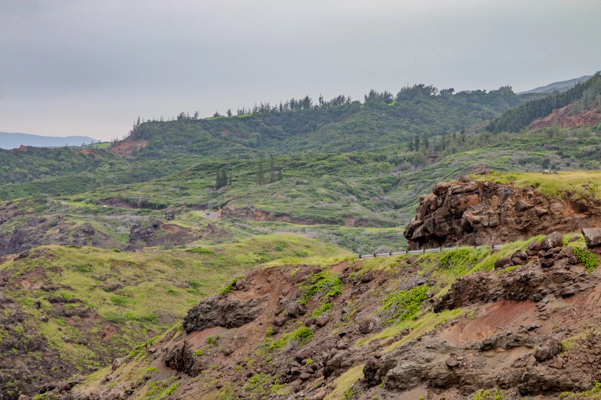
Lush volcanic slopes along the coastal road approaching Nakalele Blowhole in West Maui.
The Nakalele Blowhole
The Nakalele Blowhole is one of Maui’s most powerful natural coastal features. Hidden beneath the rocky shoreline is a network of ancient lava tubes formed when molten basalt flowed toward the ocean during Maui’s volcanic past. Over time, waves carved openings into these tubes, creating channels that allow seawater to surge inland beneath the rock.
When incoming waves force water into these underground passages, pressure builds until the water escapes through a vertical opening in the lava above. The result is the dramatic eruption visitors see today, where seawater bursts upward through the rock in a geyser-like spray.
During periods of strong surf, these eruptions can rise surprisingly high above the coastline, demonstrating the immense power of the Pacific Ocean interacting with Maui’s volcanic landscape.
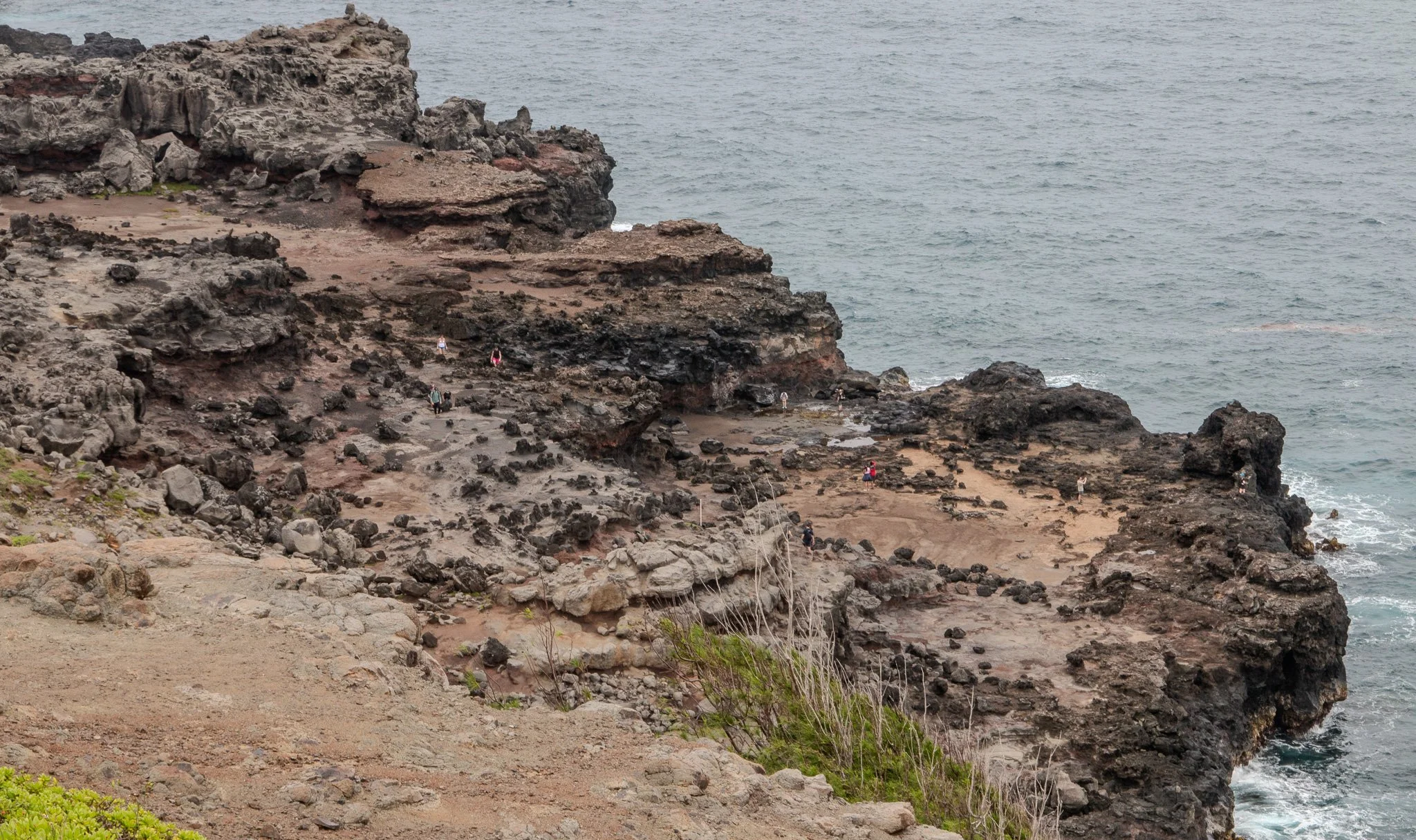
Visitors exploring the rugged lava shelves surrounding Nakalele Blowhole on Maui’s northwest coast.
Did you know?
The Nakalele Blowhole does not erupt continuously. Each burst depends entirely on wave timing and ocean pressure moving through the lava tubes beneath the shoreline, which is why the blowhole can remain quiet for several minutes before suddenly erupting again.
Fun Fact
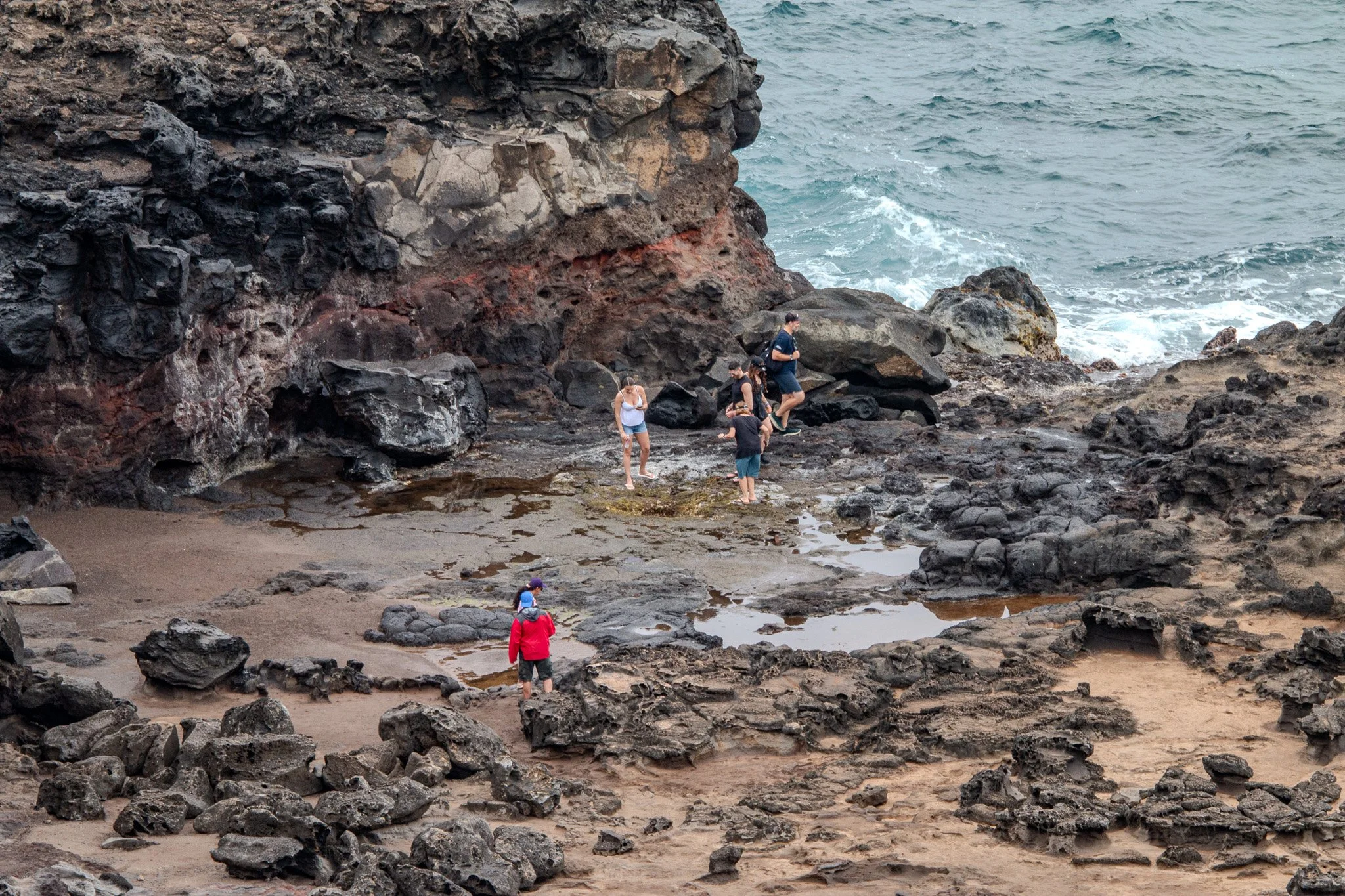
Visitors exploring the rugged lava coastline near Nakalele Blowhole on Maui’s northwest shore. Standing directly over the blowhole opening can be extremely dangerous due to sudden ocean pressure and wave surges.
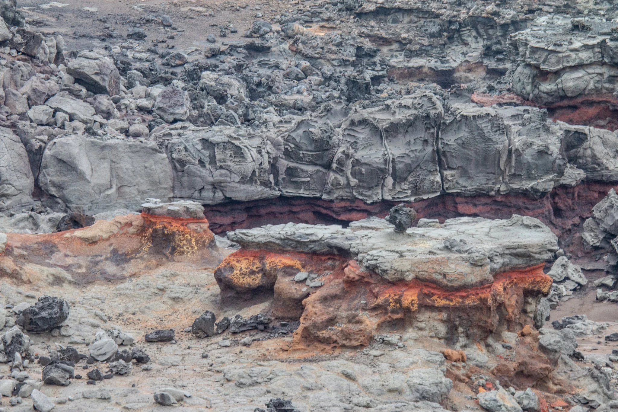
Ancient volcanic lava formations and eroded coastal shelves surrounding Nakalele Blowhole on Maui’s rugged northwest shoreline.
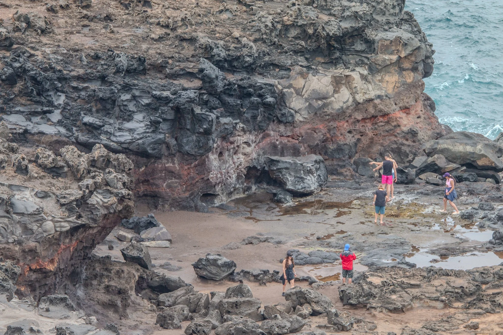
Visitors exploring tidal pools and eroded lava cliffs surrounding Nakalele Blowhole on Maui’s northwest shore.
The Cliffs of Nakalele Point
Beyond the blowhole itself, the coastline around Nakalele Point reveals one of the most rugged landscapes on Maui. Here the outer slopes of the West Maui Mountains descend sharply toward the Pacific Ocean, creating steep volcanic cliffs that drop directly into the sea.
These cliffs mark the eroded edge of an ancient volcanic shield that once formed the western half of the island. Over hundreds of thousands of years, wind, rain, and ocean erosion carved deep valleys and exposed the dark basalt rock that defines this dramatic shoreline today.
Standing along the cliffs near Nakalele Point offers sweeping views of Maui’s northwest coast, where waves crash against volcanic rock and the open Pacific stretches toward the horizon.
West Maui Mountains Above Nakalele Point
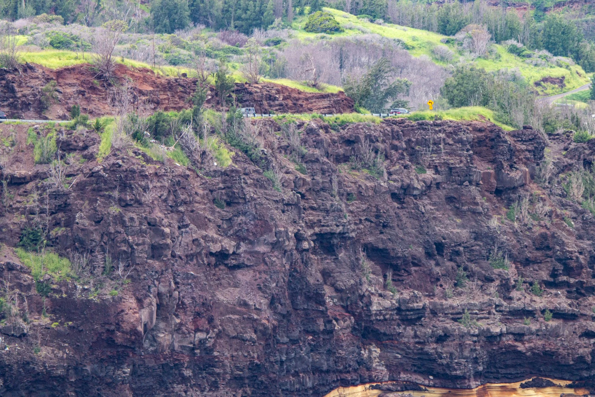
Layered volcanic cliffs near Nakalele Point reveal the eroded slopes of the ancient West Maui volcano along Maui’s dramatic northwest coastline.
Fun Fact
Did you know?
The West Maui Mountains are among the oldest volcanic formations in the Hawaiian Islands. Over millions of years, erosion carved deep valleys into the original volcano, leaving behind the steep ridges and dramatic coastal cliffs seen along the Nakalele coastline today.
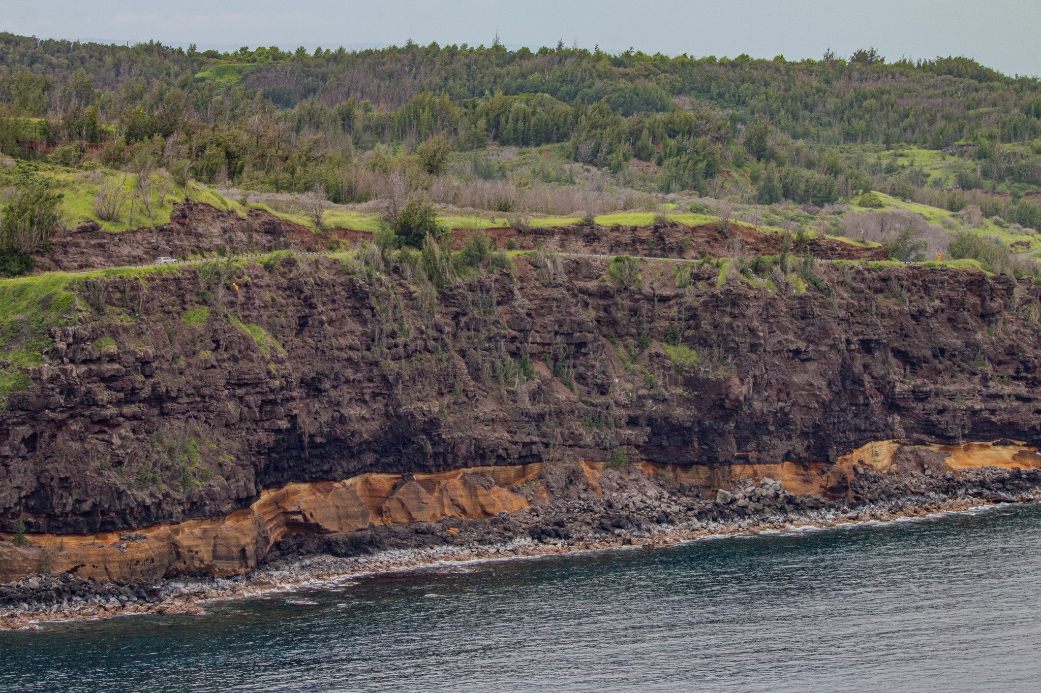
Volcanic cliff layers along the coastline near Nakalele Point reveal ancient lava flows from the West Maui volcano meeting the Pacific Ocean.
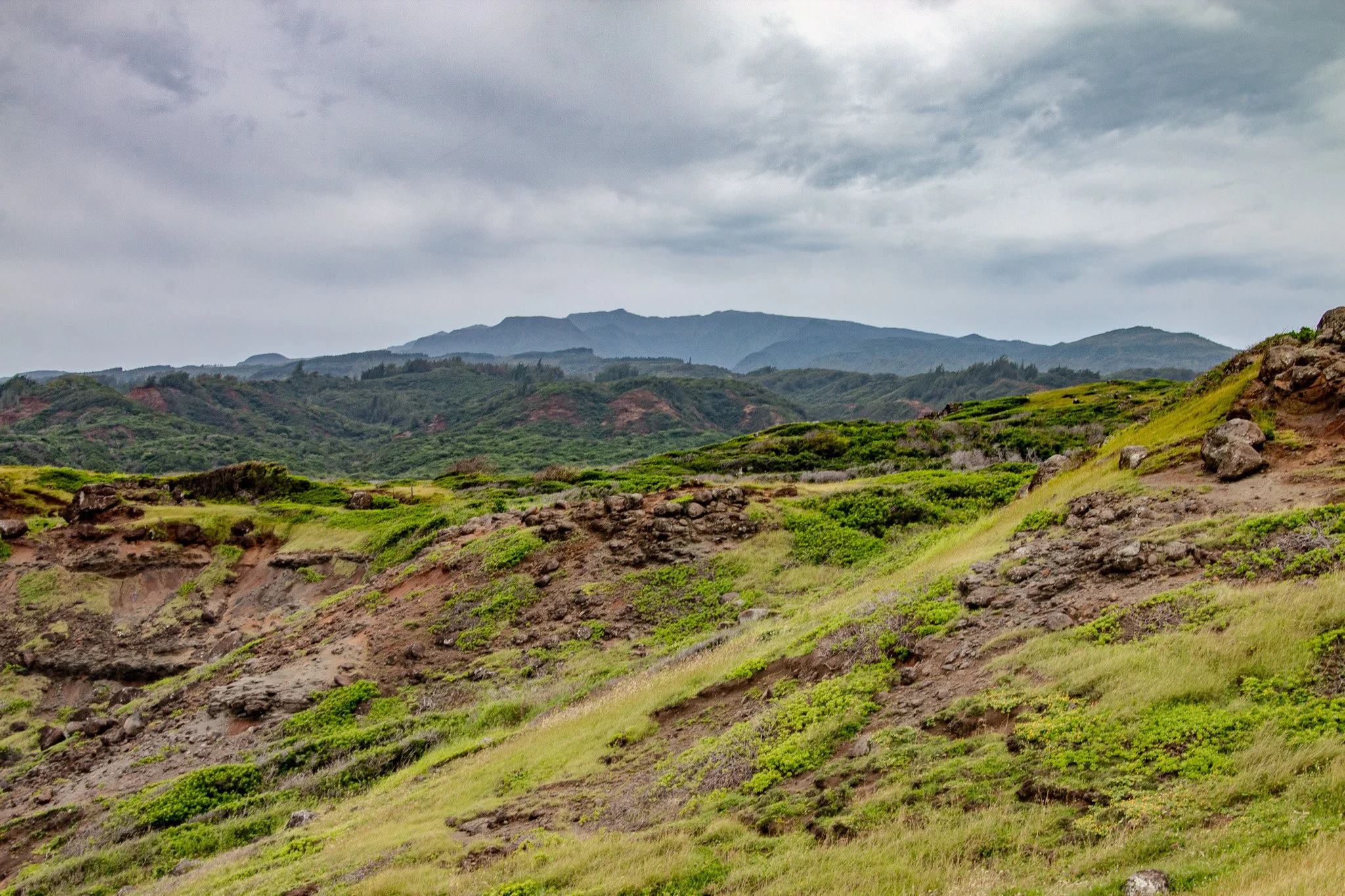
The lush volcanic ridges of the West Maui Mountains rising above the rugged coastline near Nakalele Blowhole.
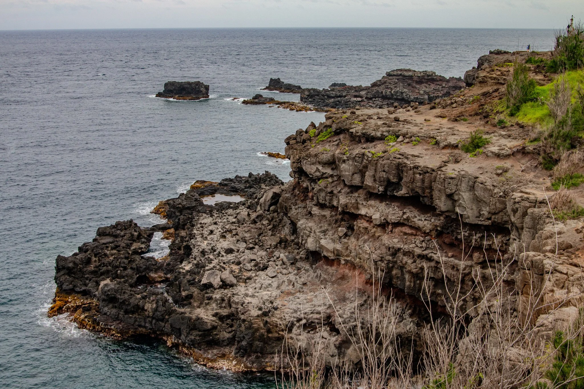
Rugged volcanic cliffs and lava coastline along Maui’s northwest shore near Nakalele Blowhole.
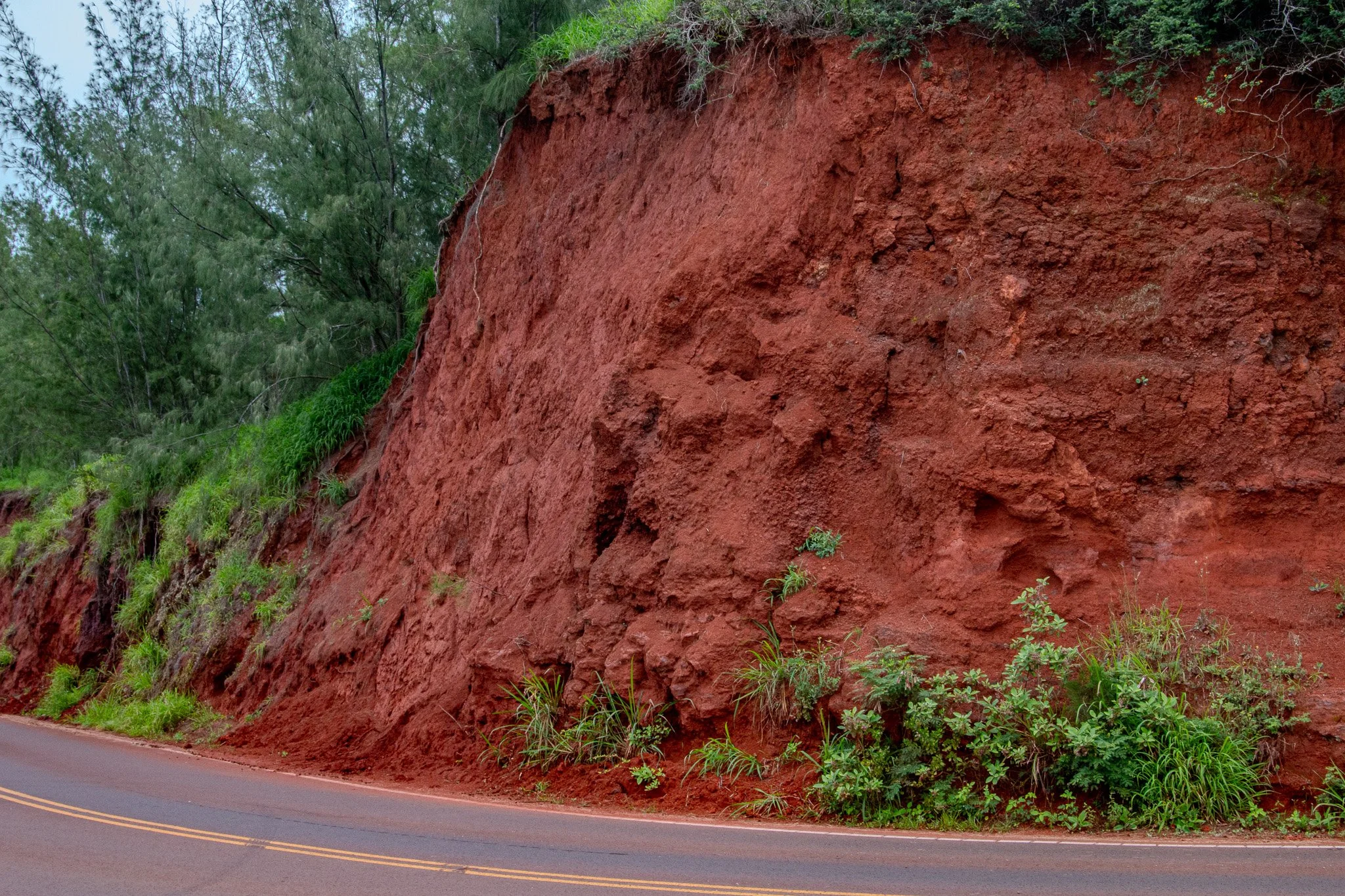
Iron-rich red volcanic soil exposed along the road near Nakalele Point, revealing layers of weathered basalt from the ancient West Maui volcano.
Fun Fact
Did you know?
The deep red color of Maui’s volcanic soil comes from iron within the basalt lava. As the rock breaks down and oxidizes over time, the iron reacts with oxygen in the air and water, producing the rich reddish tones visible across the hillsides near Nakalele Point.
Red Volcanic Soil of the Northwest Coast
As the road approaches Nakalele Point, the landscape begins to change. Dark basalt rock gives way to slopes of deep red volcanic soil that contrast sharply with the blue Pacific below. These iron-rich soils formed as ancient lava slowly weathered over thousands of years under Maui’s tropical climate.
The exposed hillsides along this part of the northwest coast are shaped by constant wind and sun. Sparse vegetation clings to the slopes while the open terrain reveals the layered volcanic history of the West Maui Mountains.
The result is a landscape that feels both rugged and colorful, where red earth, dark lava, and sweeping ocean views combine to create one of the most distinctive coastal environments on the island.
Above the rugged coastline near Nakalele Point, the slopes of the West Maui Mountains rise quickly from the sea. These mountains are the deeply eroded remains of one of Maui’s original volcanoes, where valleys and ridges carved by rainfall descend toward the dramatic northwest shoreline.
Along this stretch of coast, pockets of green vegetation and open land contrast with the darker volcanic cliffs below. In some areas, homes and estates sit high above the coastline, offering expansive views across the Pacific Ocean and toward the neighboring islands.
From these elevated slopes, the landscape reveals a striking perspective of Maui’s northwest coast — where volcanic mountains, ocean cliffs, and open sea meet in one of the island’s most scenic regions.
The Slopes of the West Maui Mountains
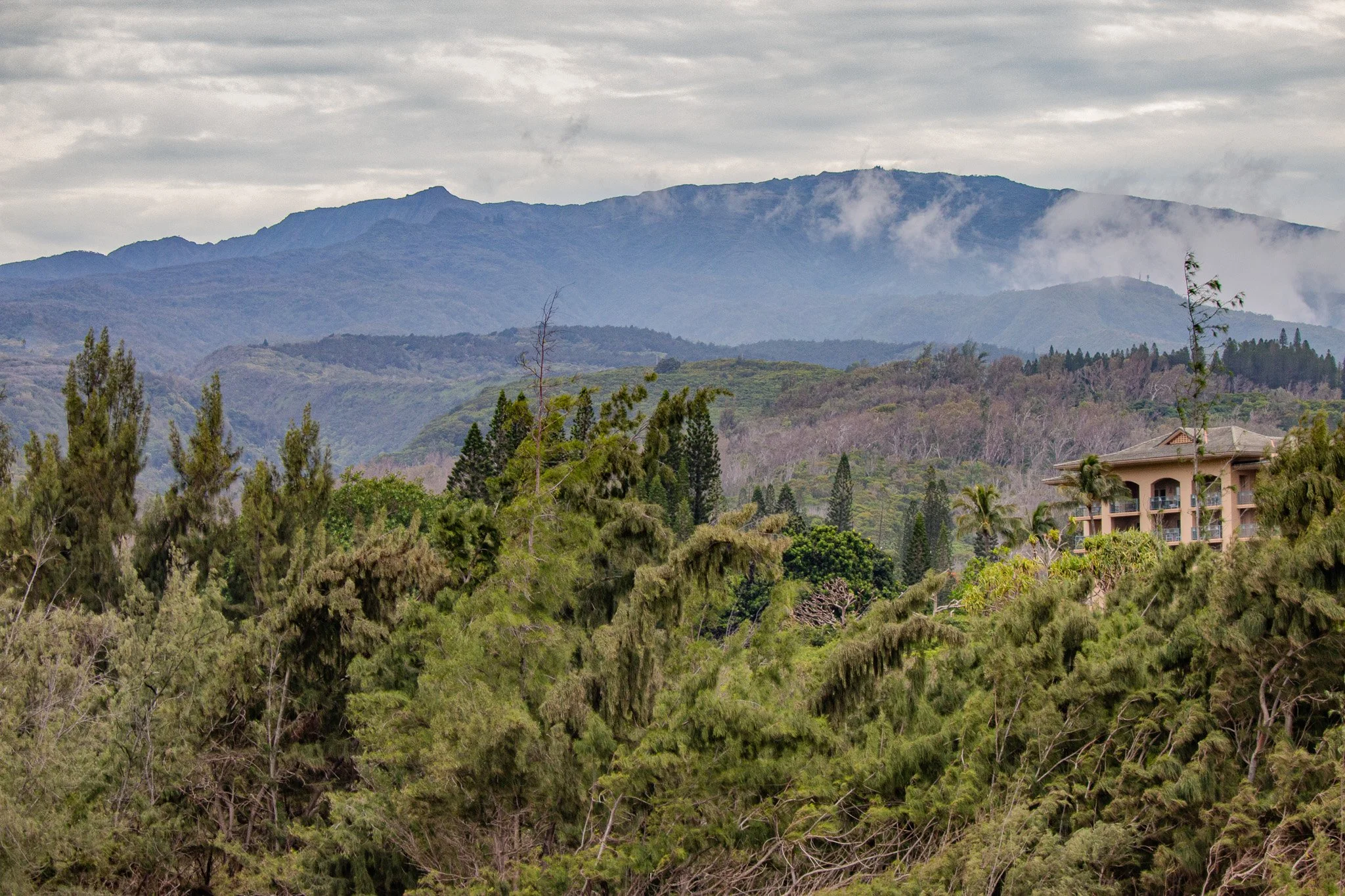
The deeply eroded ridges of the West Maui Mountains rise above the northwest coastline, revealing one of Maui’s oldest volcanic landscapes.
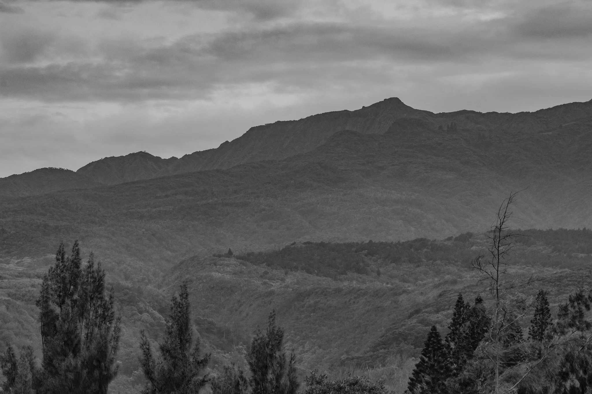
The eroded ridges of the West Maui Mountains form a dramatic backdrop above the rugged northwest coastline near Nakalele Point.
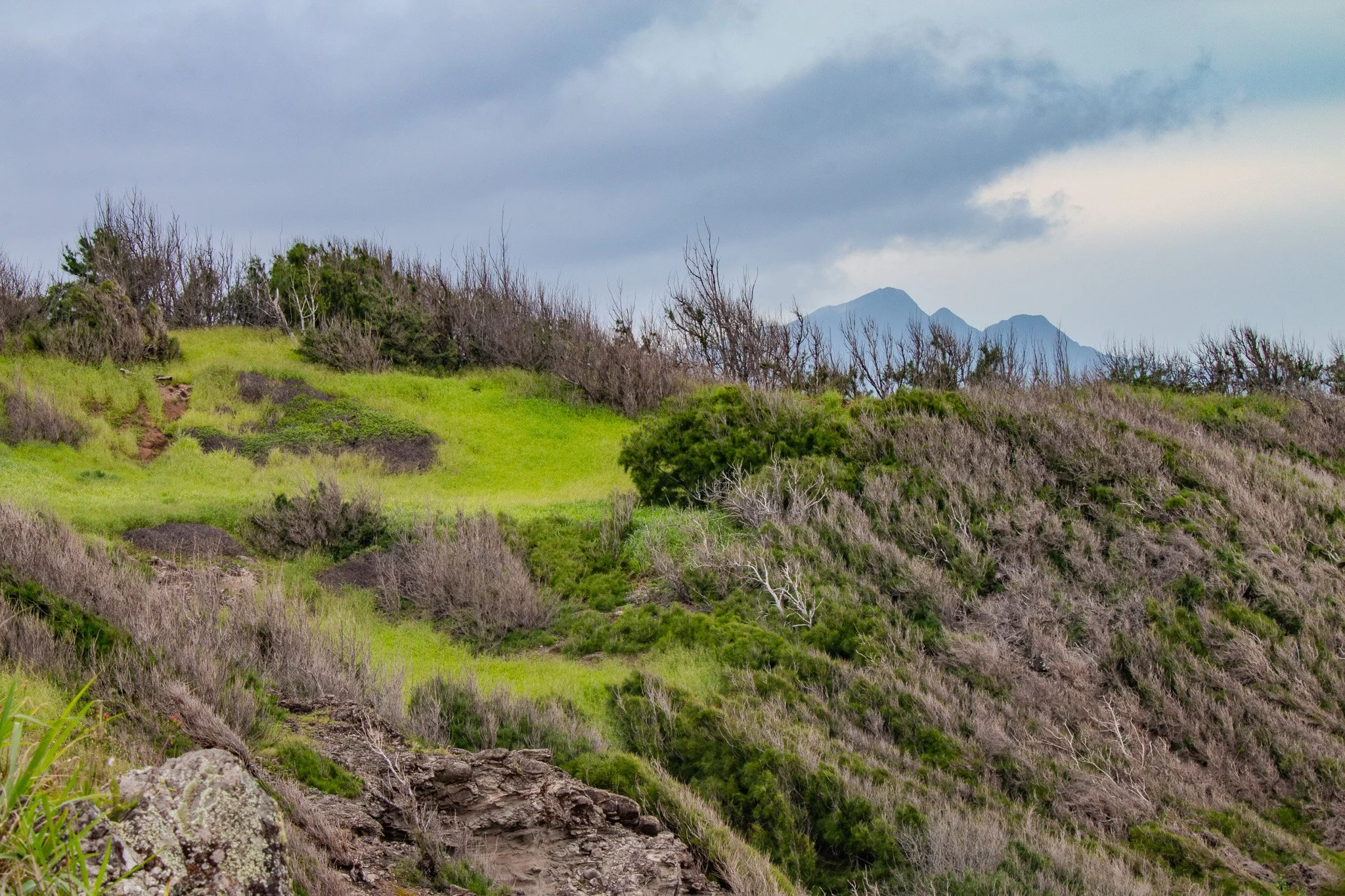
From the cliffs near Nakalele Point, the rugged coastline of northwest Maui opens toward the channel where the island of Molokaʻi rises on the horizon.
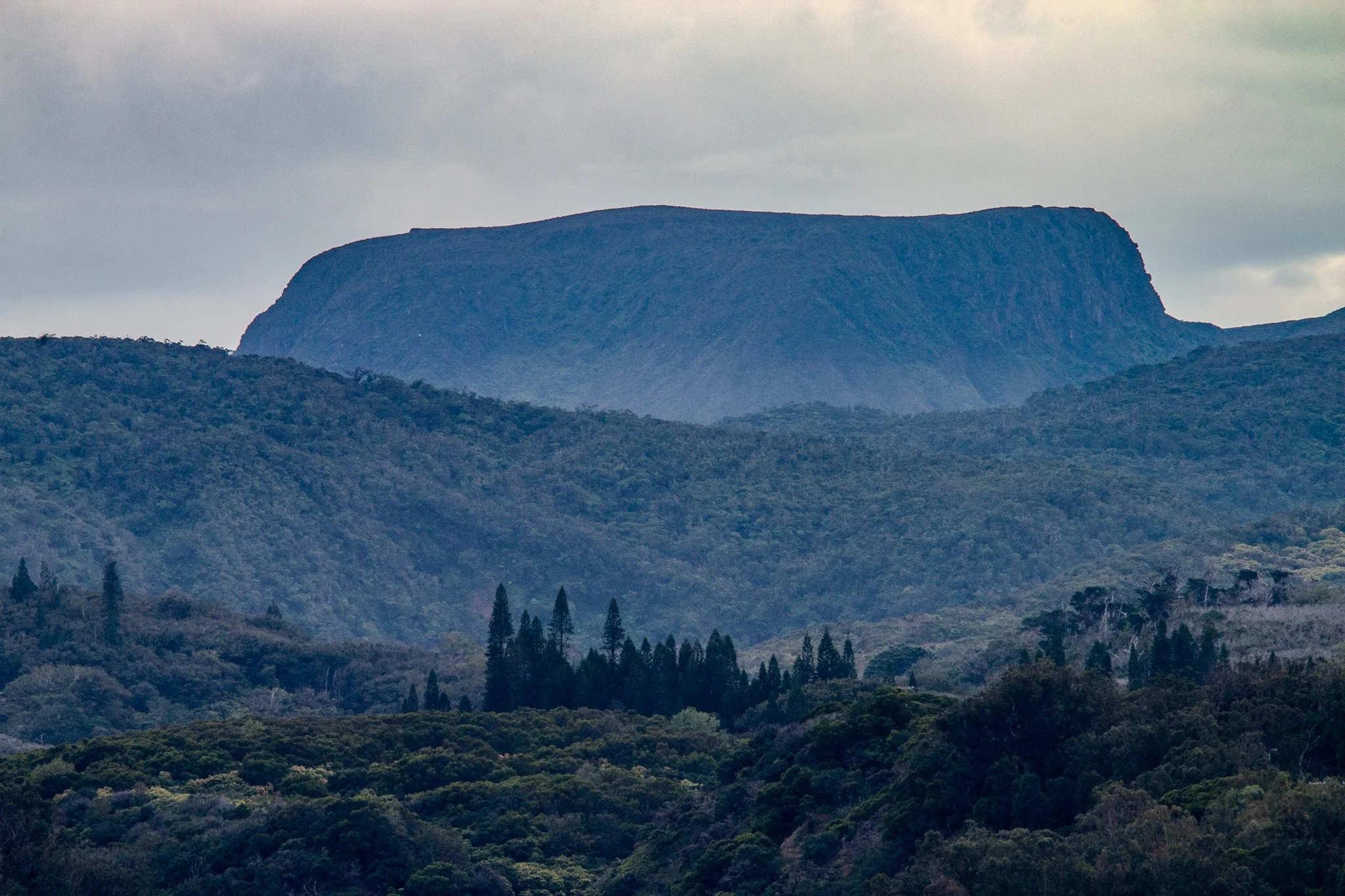
The rugged ridges of the West Maui Mountains rise inland from the northwest coastline near Nakalele Point, revealing the deeply eroded slopes of Maui’s ancient western volcano.
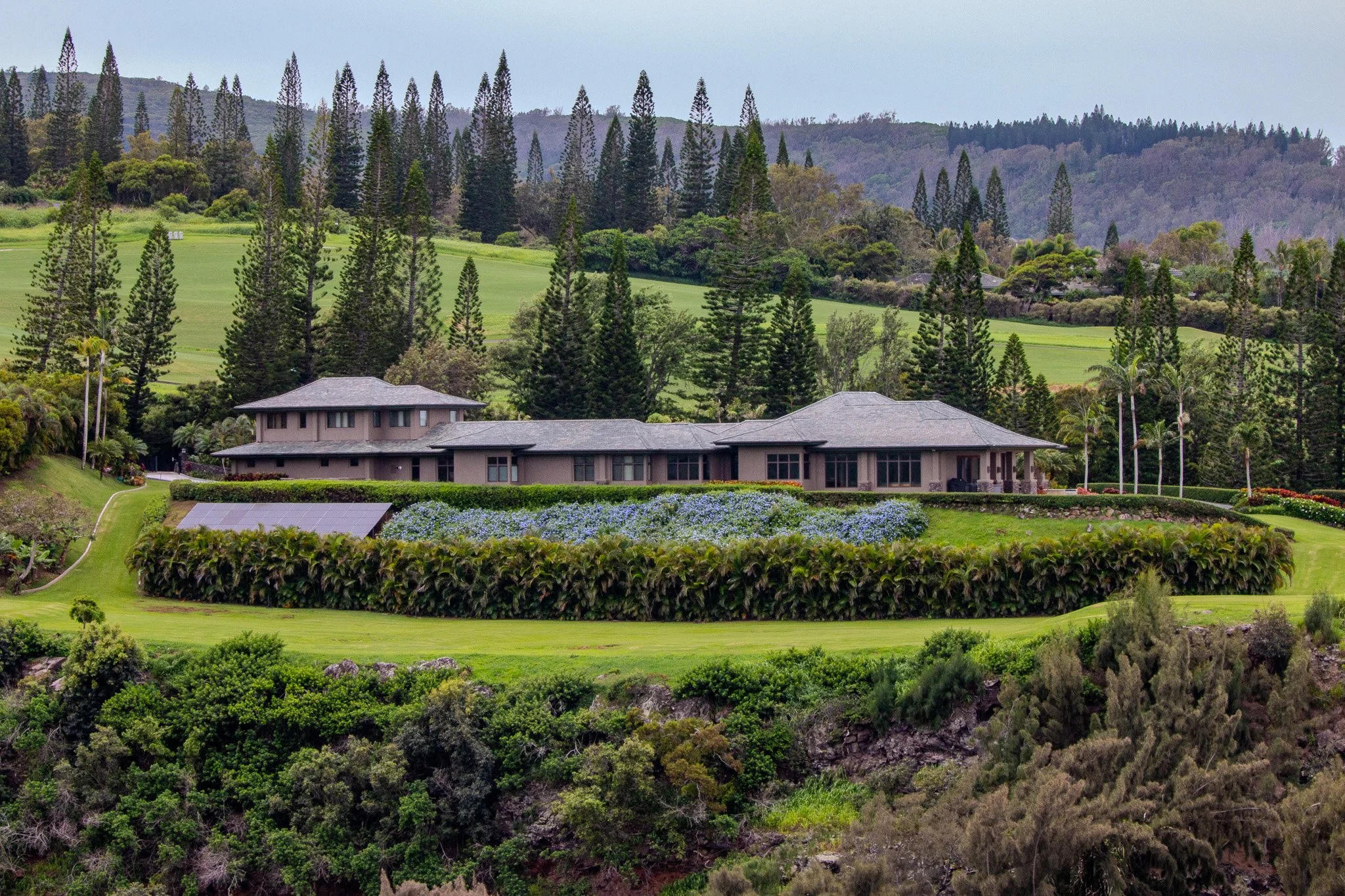
Beyond the rugged lava cliffs and ocean views near Kapalua and Nakalele Point, the landscape quickly changes as the road climbs inland. Quiet estates and open green slopes sit beneath the towering ridges of the West Maui Mountains, creating a striking contrast between the wild coastline and the calmer agricultural landscapes above.
Ocean Culture Along Maui’s Northwest Coast
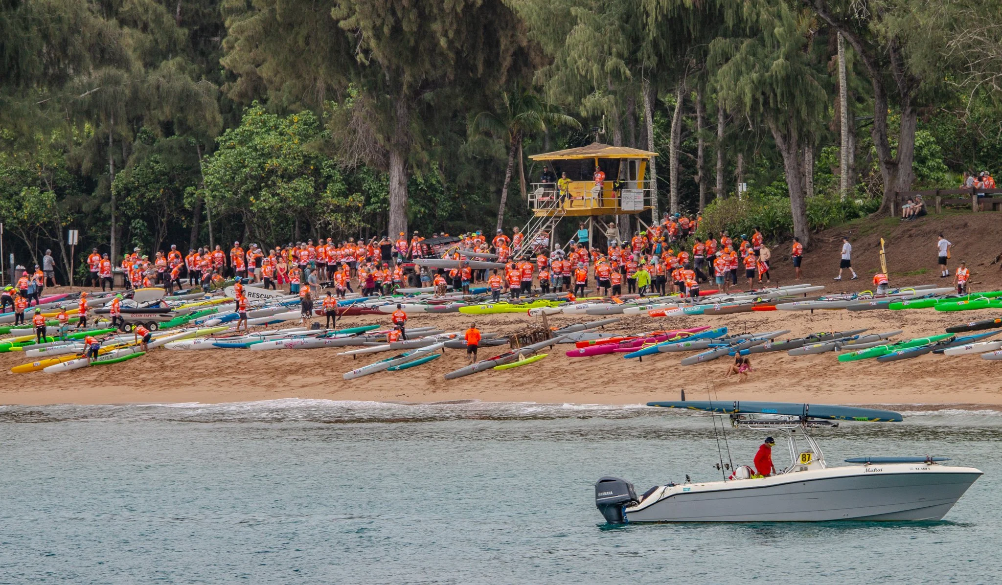
Ocean paddlers line D.T. Fleming Beach Park in Kapalua as competitors prepare for an outrigger canoe and surf ski race along Maui’s northwest coast.
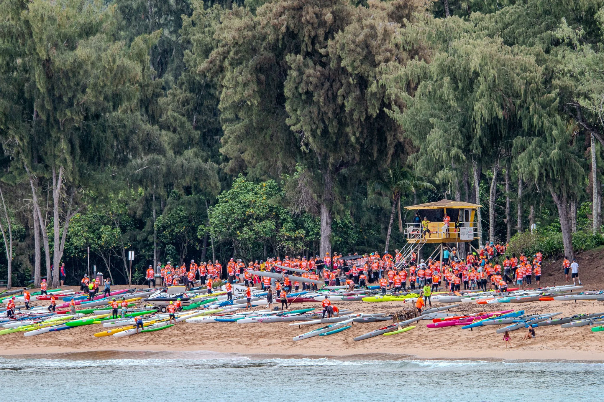
Competitors assemble surf skis and outrigger canoes on D.T. Fleming Beach Park as an ocean race prepares to begin along Maui’s northwest shore.
Northwest Maui is not only defined by its rugged coastline and dramatic lava cliffs, but also by a deep connection to the ocean. Along nearby beaches such as D.T. Fleming Beach Park, paddlers and ocean athletes regularly gather for canoe and surf ski races. These events bring together local crews, visiting competitors, and spectators who line the shoreline to watch the starts and ocean runs along the Kapalua and Honolua coastline. The energy of these gatherings reflects a long tradition of ocean sports that remains an important part of life on Maui.
Explore More Maui Coastal Locations
The coastline of northwest Maui continues far beyond Nakalele Point, connecting a series of dramatic beaches, cliffs, and ocean viewpoints that define this side of the island. Each location offers a slightly different perspective of Maui’s volcanic landscape, the open Pacific, and the neighboring island of Molokaʻi.
Visitors exploring this stretch of coast often continue south toward the beaches and cliffs of Kapalua, where golden sand beaches and coastal trails overlook deep blue water and offshore reefs. Farther along the shoreline, rugged lava formations and remote coastal viewpoints reveal the wild volcanic character that still shapes Maui’s northwest coast.
For those interested in exploring more of Maui through photography and wall art, these nearby collections highlight several of the island’s most recognizable landscapes and ocean scenes.
The Rugged Coastline of Northwest Maui
The coastline surrounding Nakalele Point is one of the most dramatic landscapes on Maui. Ancient lava flows, eroded cliffs, and powerful ocean swells have shaped this stretch of shoreline for thousands of years. From the famous Nakalele Blowhole to the quiet ridges of the West Maui Mountains rising inland, the region reveals the raw geological forces that formed the Hawaiian Islands.
Whether viewed from the cliffs above the ocean, the beaches below Kapalua, or the inland slopes overlooking the coastline, northwest Maui remains one of the island’s most striking and memorable landscapes.
Through photography, these scenes become lasting reminders of Maui’s volcanic origins, its powerful ocean, and the quiet beauty that continues to define the island today.
Original Maui photography created to document the island’s natural beauty and coastal landscapes.